We are very pleased to launch the Food environment assessment tool (Feat).
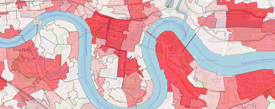
This new resource is underpinned by the latest scientific evidence about how food access in our neighbourhoods affects our dietary choices, body weight and health. It allows for detailed exploration of the geography of food retail access across England.
It will allow you to map, measure and monitor access to food outlets at a neighbourhood level, including changes over time.
It is designed around the needs of professionals in public health, environmental health and planning roles, locally and nationally. Use it to:
- generate local evidence for use in the development of Obesity Strategies, Local and Neighbourhood Plans, JSNAs and Strategic Planning Documents.
- support planning decisions
- compare food access between neighbourhoods, and see where is changing fastest
- target interventions, and test the effectiveness of planning policies
.
Feat has been developed by CEDAR and the MRC Epidemiology Unit at the University of Cambridge, using data from Ordnance Survey.
Read more about Feat at www.cedar.iph.cam.ac.uk/feat
Access Feat at www.feat-tool.org.uk
Contact the Feat development team: feat-tool@mrc-epid.cam.ac.uk
Feat in the news
As part of its launch, Feat was also profiled in the Guardian:
- Large rise in takeaway shops highlights dominance of fast food in deprived areas
- Fast food England: how many takeaways are near you? (Interactive feature based on Feat data)
- Does putting a cap on takeaways improve people’s health?
- Survey: are you worried about the food options available in your area?
.
